
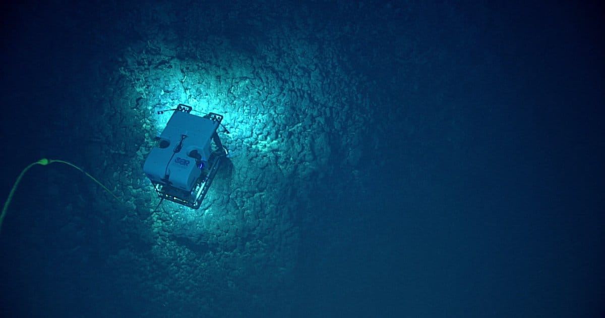
These expeditions will take place aboard NOAA Ship Okeanos Explorer. The first will take place from August through September 2026 using a remotely operated vehicle (ROV). The second expedition will run from late September through October 2026. Throughout both expeditions, the team will deploy advanced mapping technology and observational sensors.
“NOAA is dedicating our resources to providing scientific research and data that supports commerce,” said NOAA Principal Deputy Assistant Secretary Erik Noble. “We are investing in the thrill of exploration, tying scientific discoveries to data that industry, government and our partners can use to build prosperity, both at home and around the globe.”
Real-time ROV operations will be streamed online daily, providing the public and shore-based scientists a unique window into the deep-sea environment. This data-driven approach is designed to provide authoritative science for decision-makers at federal and local levels. All data gathered will be made publicly available to support critical mineral assessments, future exploration decisions, and broader marine-resource planning.
“The deep waters around American Samoa hold unknown secrets about our ocean, including unmapped habitats and potential mineral resources critical to our national prosperity and security,” said Captain William Mowitt, acting director of NOAA Ocean Exploration. “By exploring these areas in an open and transparent way, we are providing the authoritative and foundational science that decision-makers and local communities need to responsibly manage the marine environment and its resources.”
About the Okeanos Explorer Mission in American Samoa
The Okeanos Explorer expeditions support the US Offshore Critical Minerals Mapping Plan and Executive Order “Unleashing America’s Offshore Critical Minerals and Resources” as well as the National Ocean Mapping, Exploration, and Characterization Strategy. American Samoa has been identified as the highest-priority region in the US Exclusive Economic Zone for mapping and exploration due to its potential for polymetallic nodules and high industry interest. This work follows a successful 2026 NOAA-funded project to map and characterize over 30,000 square nautical miles in the region, as well as two NOAA-funded expeditions on Ocean Exploration Trust’s Exploration Vessel Nautilus, which included exploration in the eastern American Samoa Exclusive Economic Zone.