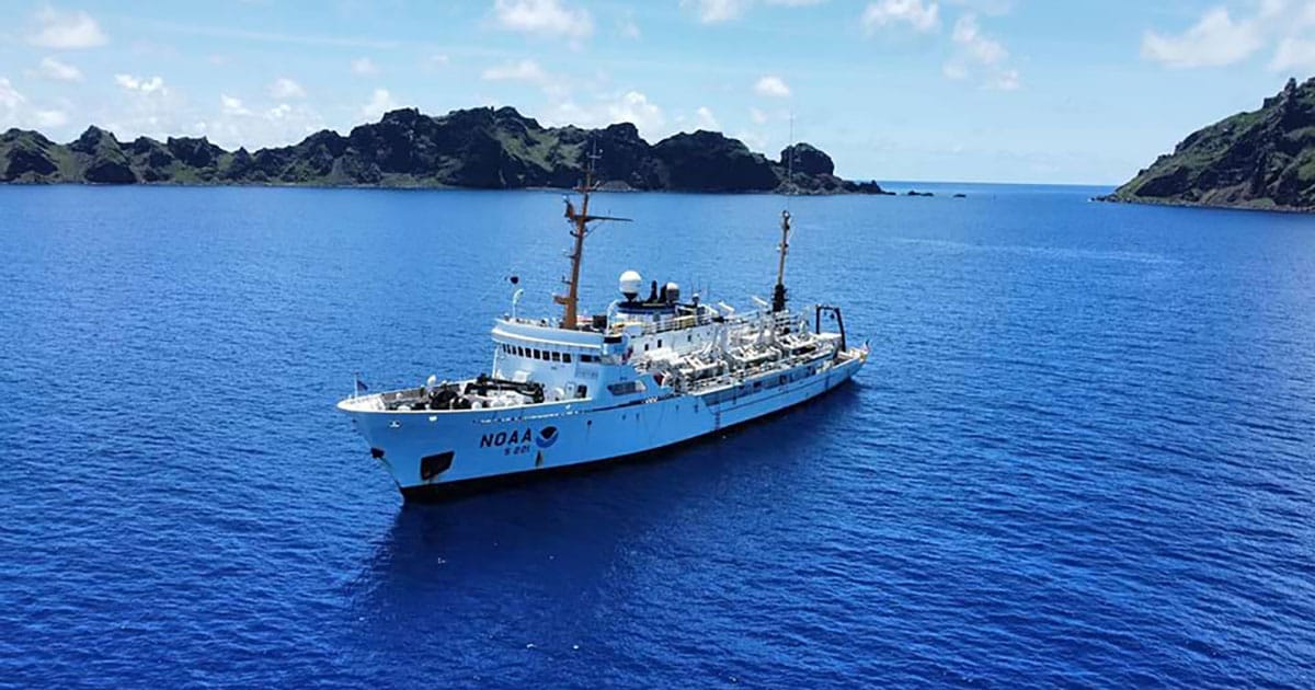
The Rainier is a hydrographic survey ship staffed by NOAA Corps Officers and professional mariners. The first survey leg will focus on mapping with multibeam echo sounders in deep water. The second survey leg will use autonomous underwater vehicles from Orpheus Ocean to acquire high-resolution seabed imagery and geological samples, in partnership with the NOAA Ocean Exploration Cooperative Institute.
“Nearly half of US waters, including this area of the Pacific, have not been mapped to modern standards,” said Neil Jacobs, Ph.D., NOAA administrator. “The Rainier crew will collect high-resolution survey data in this area for the very first time to deepen our understanding of its seabed composition.”
NOAA will produce publicly accessible maps and images of these federal waters in the Pacific. These products will inform NOAA, other federal agencies, and interested parties of the likelihood of finding critical mineral deposits in the surveyed area. This effort will generate high-quality, deep-ocean data to help increase the baseline understanding of the deep-ocean environment, as well as stimulate further potential exploration, research, and management projects, including activities related to critical minerals.